

Kennebunkport Weather, Tide Charts and Marine Navigation Links

Please use the links below to access current weather forecasts, tide charts, marine navigation links and more.
The Weather Underground – MAINE
Kennebunkport and Southern Maine Tide Charts
Marine Navigation & Marine Offshore Buoy Reports
Gulf of Maine Ocean Observation Center
Radar Images: Maine Sailcast and Regional Radar Conventional Precipitation Radar
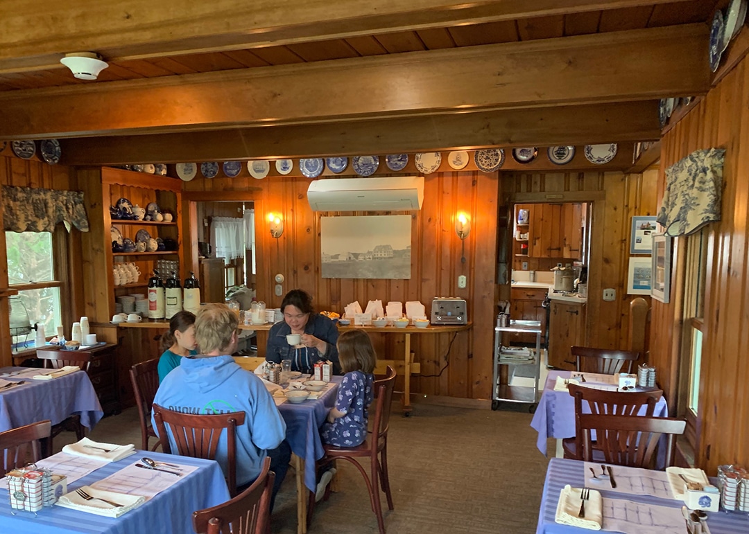 DAILY: 8-10 AM – We serve up muffins warm from the oven, along with fresh fruit, oatmeal, cereals, juices, bagels, English muffins and more! Fresh coffee brewed and ready by 7:30 AM
 Kennebunkport's Christmas Prelude was voted the
#2 Christmas Town in America by HGTV!
Kennebunkport's Christmas Prelude was voted the
#2 Christmas Town in America by HGTV!